Cicerone Press⏳HikingThe Lune Valley and Howgills: 40 scenic fell, river and woodland walks (Cicerone Guides)$36.99View
Cicerone Press⏳HikingThe Pennine Way: National Trail From Edale to Kirk Yetholm (Includes separate OS 1:25K map booklet) (Cicerone Walking Guides)$51.99View
Cicerone Press⏳HikingWalking in Northumberland: 36 walks throughout the county - coast, Cheviots, Hadrian's Wall and Pennines$43.99View
Cicerone Press⏳HikingWalking in the Cairngorms: Over 100 walks, trails and scrambles including Lochnagar (Cicerone Guides)$39.99View
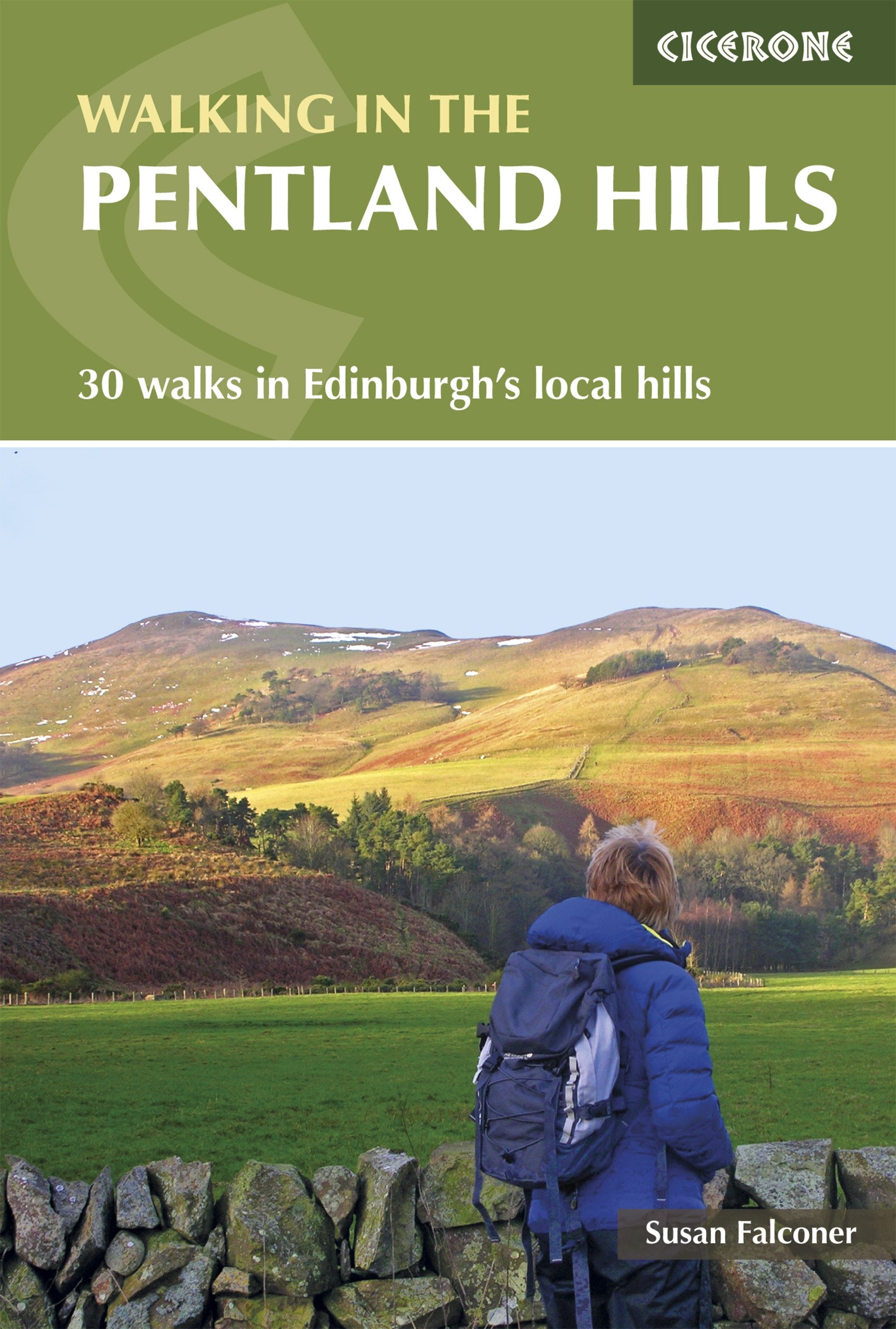
Cicerone Press⏳HikingWalking in the Pentland Hills: 30 walks in Edinburgh's local hills (Cicerone Guides)$36.99View
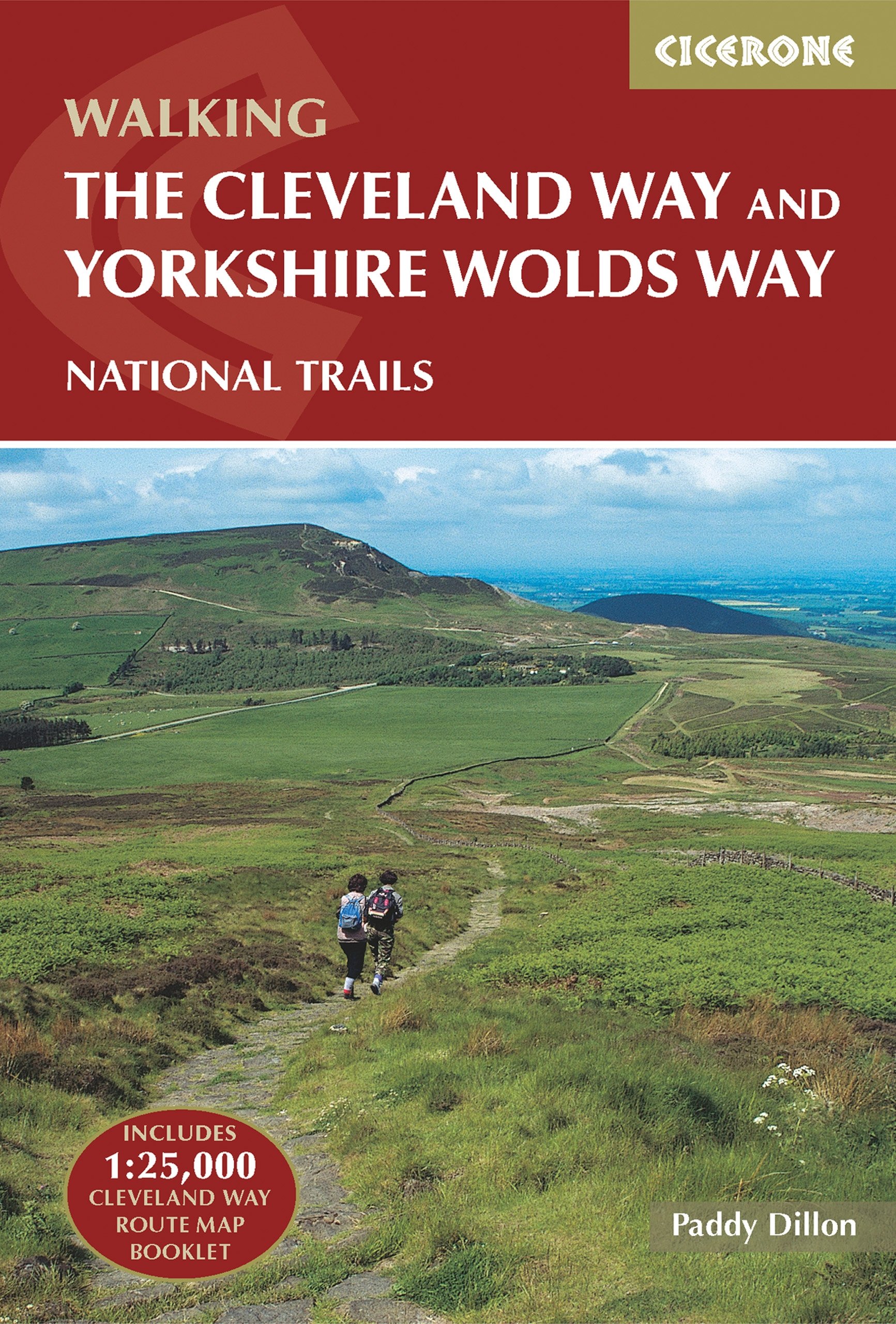
Cicerone Press⏳HikingThe Cleveland Way and the Yorkshire Wolds Way: Includes OS 1:25K Map Booklet to the Cleveland Way: Includes 1:25,000 Cleveland Way route map booklet: NATIONAL TRAILS$59.99View
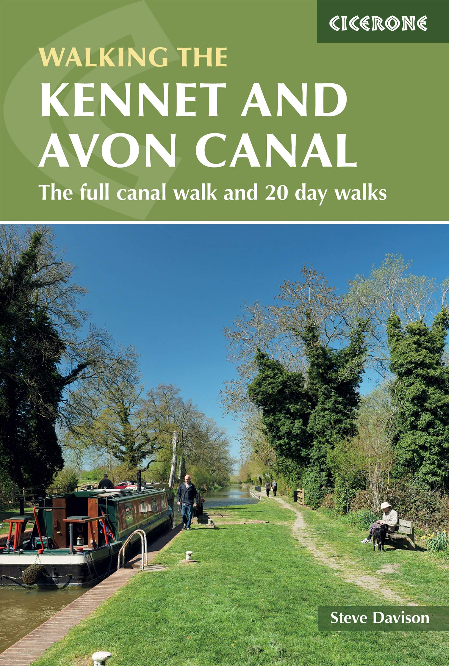
Cicerone Press⏳HikingThe Kennet and Avon Canal: The Full Canal Walk and 20 Day Walks (British Walking Guides)$43.99View
Hiking⏳HikingPennine Way South XT40 (Trail Maps): Edale to Middleton-in-Teesdale (Trail Maps XT40)$42.99View
Harvey's⏳HikingCape Wrath Trail North XT40: Route Map: Strathcarron to Cape Wrath (Trail Map XT40)$43.99View
Countryside Books⏳HikingDorset: A Dog Walker's Guide - 20 Countryside Dog Walks with Lots of Off-Lead Time$26.99View
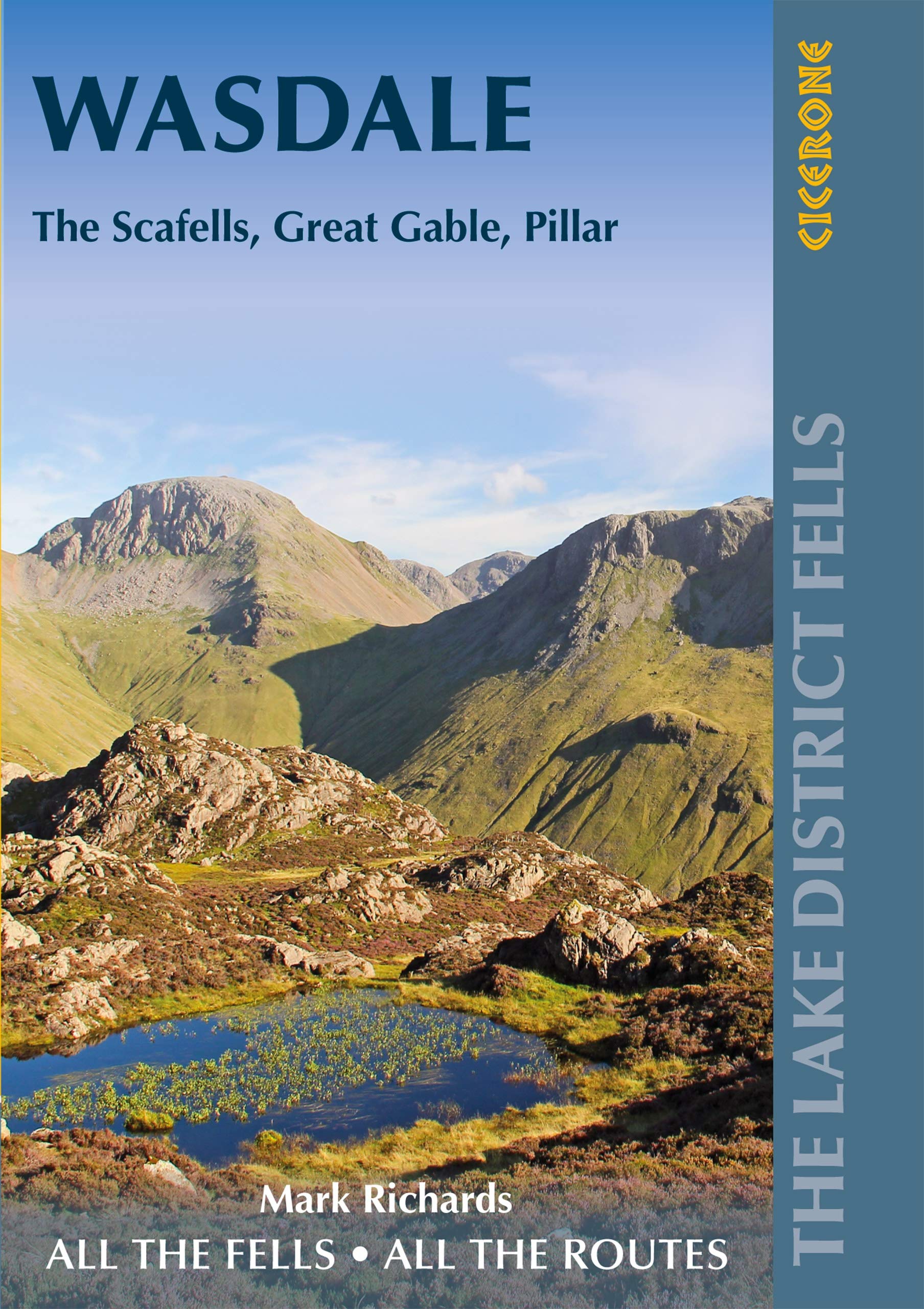
Cicerone Press⏳HikingWalking the Lake District Fells - Wasdale: The Scafells, Great Gable, Pillar (Cicerone Guides)$39.99View
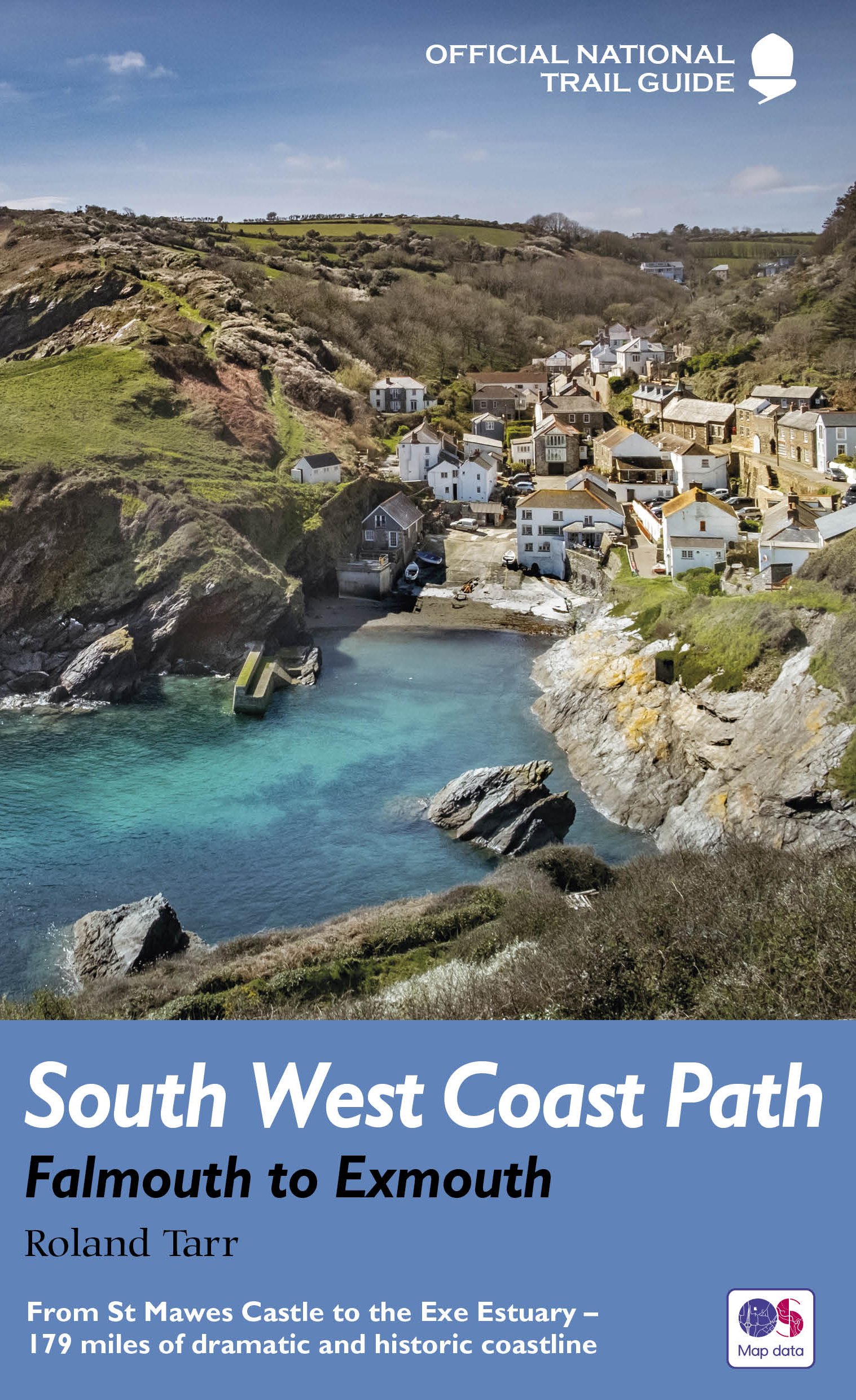
Aurum Press⏳HikingSouth West Coast Path: Falmouth to Exmouth: From St Mawes Castle to the Exe Estuary – 179 miles of dramatic and historic coastline (National Trail Guides)$39.99View
Ordnance Survey⏳HikingBristol & Bath Map | Weatherproof | Thornbury & Chew Magna | Ordnance Survey | OS Landranger Active Map 172 | England | Walks | Cycling | Days Out | Maps | Adventure$39.99View
Ordnance Survey⏳HikingBen Hope, Ben Loyal & Kyle of Tongue Map | Weatherproof | A’ Mhòine | Ordnance Survey | OS Explorer Active Map 447 | Scotland | Walks | Hiking | Maps | Adventure$46.99View
Ordnance Survey⏳HikingGlenrothes North, Falkland & Lomond Hills Map | Weatherproof | Auchtermuchty & Cupar | Ordnance Survey | OS Explorer Active Map 370 | Scotland | Walks | Hiking | Maps | Adventure$43.99View
Ordnance Survey⏳HikingLake Vyrnwy / Llyn Efyrnwy & Llanfyllin Map | Weatherproof | Tanat Valley / Dyffryn Tanat | Ordnance Survey | OS Explorer Active Map 239 | Wales | Walks | Hiking | Maps | Adventure$42.99View
Ordnance Survey⏳HikingBirmingham Map | Weatherproof | Walsall, Solihull & Redditch | Ordnance Survey | OS Explorer Active Map 220 | England | Walks | Hiking | Maps | Adventure$39.99View